monitoring and surveillance - deformation modelling
The value of monitoring within the asset management process gets increased attention. Asset owners have learned that monitoring systems considerably help in risk-and asset management. Within the current practice of monitoring the constructed infrastructure deformation measurements play a dominant role. They are an integrated part of a wider monitoring concept integrating information from various types of sensors. Most of the SHM works in the past have been focused on damage detection, which should actually be the exception in asset management rather than the daily practice. Therefore the objectives of monitoring have to be shifted towards decision support and generation of useful information for asset managers. This comprises not only the definition of actual condition but also the targeted related maintenance and inspection schedules.
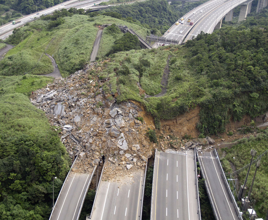
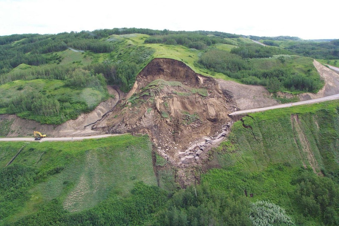
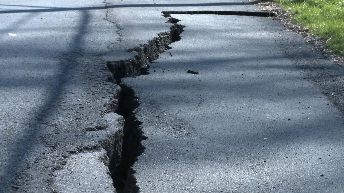
Land movements and the activity of the earth's crust causing landslides, volcanic eruption and earthquake also impact on populations and infrastructures. Deformation monitoring networks informs civilian protection authorities about the state of alert and in case of natural disaster events, can deliver strategic informations on what infratsructures remains stable or not to guide rescue teams and mitigate impacts on populations.
Land movements and the activity of the earth's crust causing landslides, volcanic eruption and earthquake also impact on populations and infrastructures. Deformation monitoring networks informs civilian protection authorities about the state of alert and in case of natural disaster events, can deliver strategic informations on what infratsructures remains stable or not to guide rescue teams and mitigate impacts on populations.
|
|
effective predictive deformation model
The ultimate goal for a monitoring solution is the formulation of a predictive deformation model ! What the responsible of public infrastructures are looking for is not a scientific investigation of phenomenons that happened in the past but rather a "watchdog" system capable of "feeling" and "predicting" trends that one can fear or not. Monitoring information modeling is precisely where the experience of CGEOS can contribute to public infrastructures management.
|
|
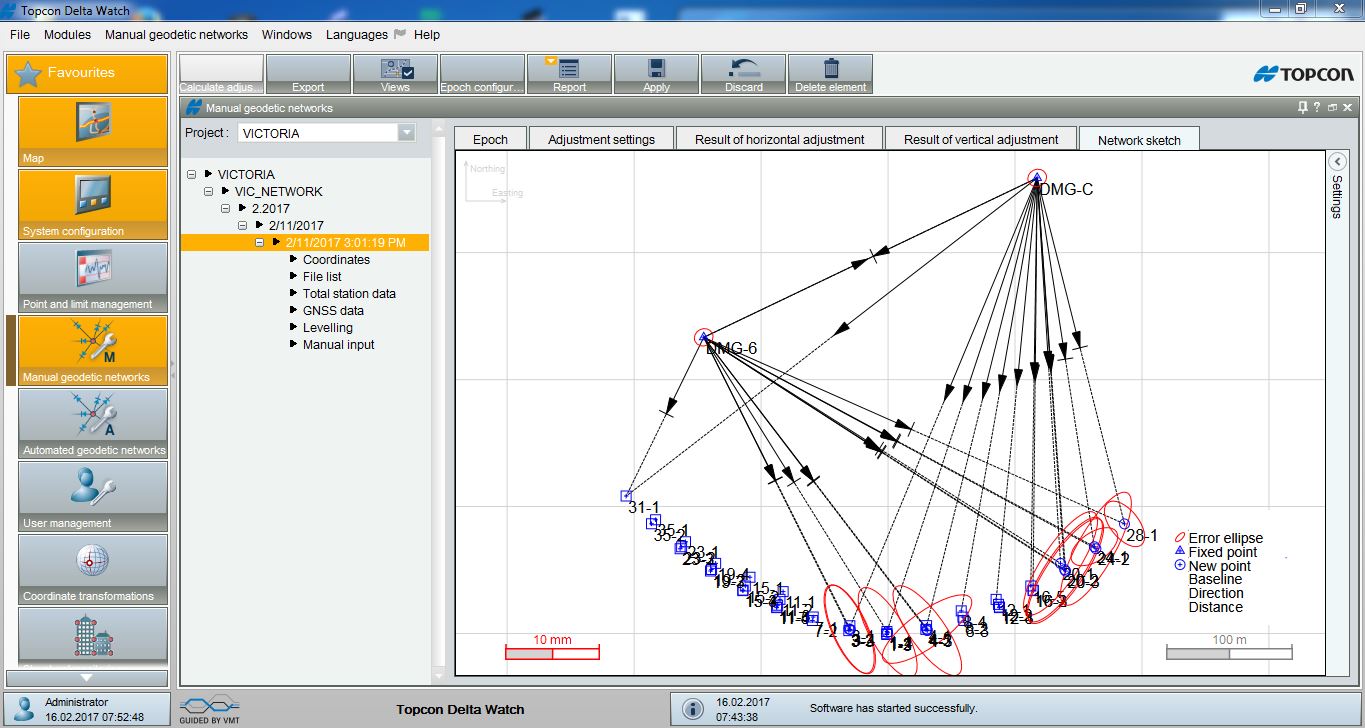
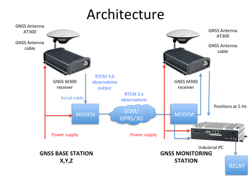
CGEOS develops designs and solutions for monitoring projects
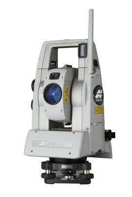
The geodetic and surveying instrumentation is now largely automated and GPS (now GNSS) initiated the trend to assemble full automatic monitoring system. This is also the case with robotic total stations able to accurately locate and measure reflectors. Geotechnical instrumentation is not left behind and we have nowadays systems that connect. The Internet of Things eventually increases this trend. This is that expertise in designing and building monitoring solutions that CGEOS with its partners and experts are able to propose .
|
|
|
|
Affordable and effective
Along the years, monitoring instrumentation and softwares were very expensive and the cost represented a severe barrier for the adoption of such solutions. Today, with game changers in GNSS receiver and antenna technology and with Open Source libraries, we are definitively on the right side and pricing shouldn't be the excuse. This is our commitment to deliver affordable and effective - in term of accuracy and reliability - monitoring solutions.
|
|
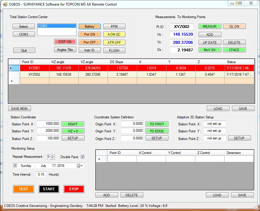
CGEOS has also the skill and talent to develop specialized application softwares for special projects where several instruments and sensors should be integrated. It goes from static to high dynamic solutions.
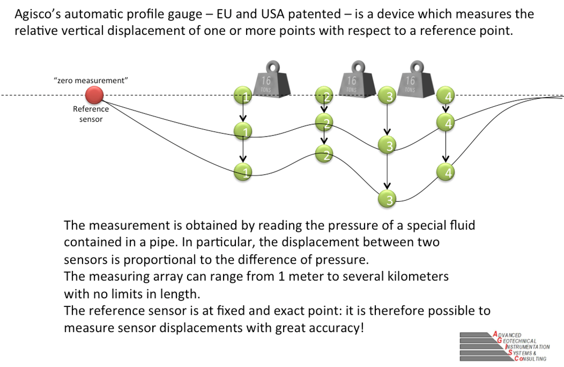
automatic leveling 24/7 PRECISION +/- 0,1 mm by agisco
Our partner, AGISCO Milano, has invented, designed and developed an automatic leveling system (patented in Europe and the USA) based on a flexible hydraulic chain. The sensors are pressure gauges. With several major projects, AGISCO system is revolutionizing the measurement of height variations.
|
|
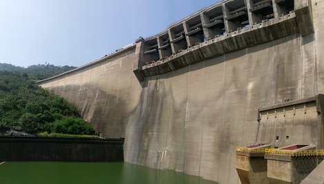
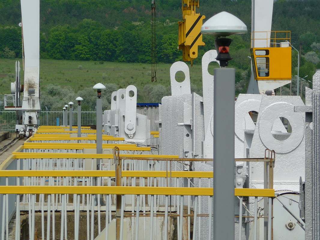
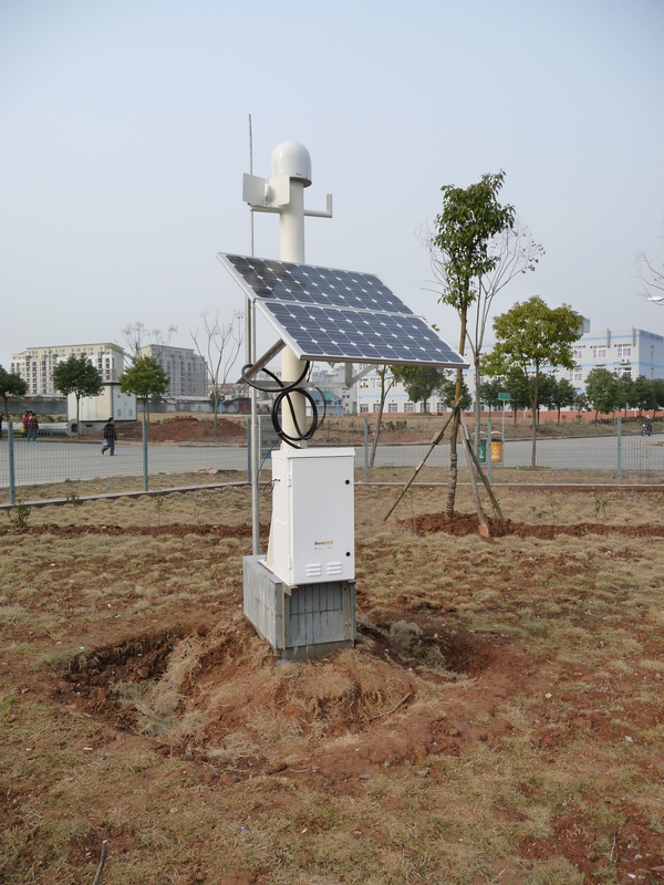
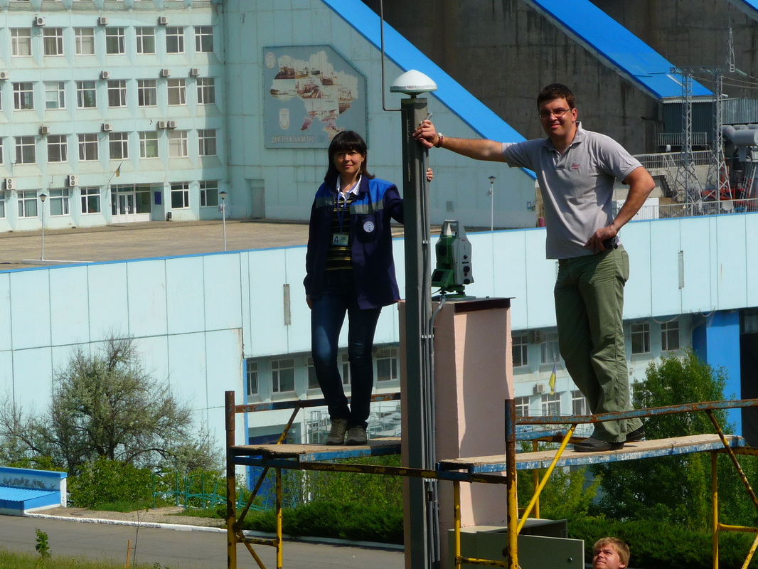
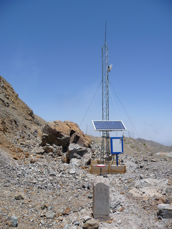
Deformation permanent monitoring system 4 hydro Power plants 2014
|
That is an Ukrainian project financed by the World Bank for the rehabilitation of the monitoring systems for 4 hydropower dams located on the Dnieper and the Dniester rivers. We participated in the preliminary visit, developed the original designs, technical and financial proposal and successfully awarded .
In 2014, Leica Geosystems AG entrusts CGEOS with the task of developing the facilities for the final inspection, data analysis and verification of the refraction model developed by the University of LVIV. This is a major project because of the complexity and instrumentation involved (GNSS receivers and antennas collocated with prisms, Automatic Total Stations, High Precision dual-axis Inclinometers) as well as processing software based on the rigorous Least Adjustment procedure and statistical analysis, and physical installation of media and communication interfaces. |
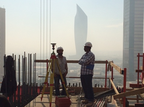
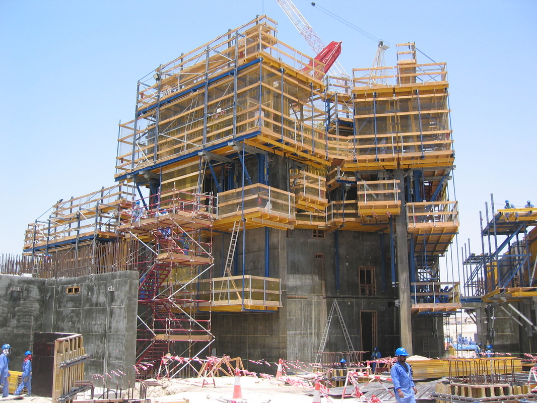
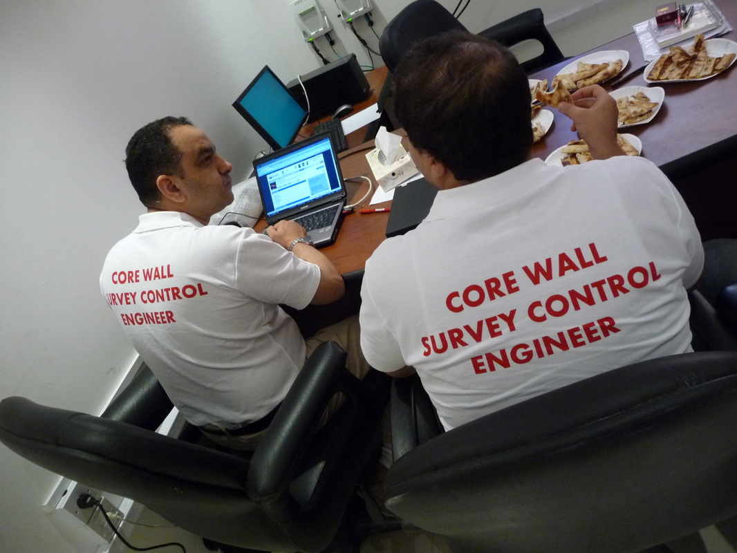
NBK kuwait 2014-2016
|
CGEOS was entrusted with a consultancy mission for the training of surveyors and to provide method statement for the construction guidance of the National Bank of Kuwait new towers. It is a building higher than 300 meters and designed by Sir Norman Foster.
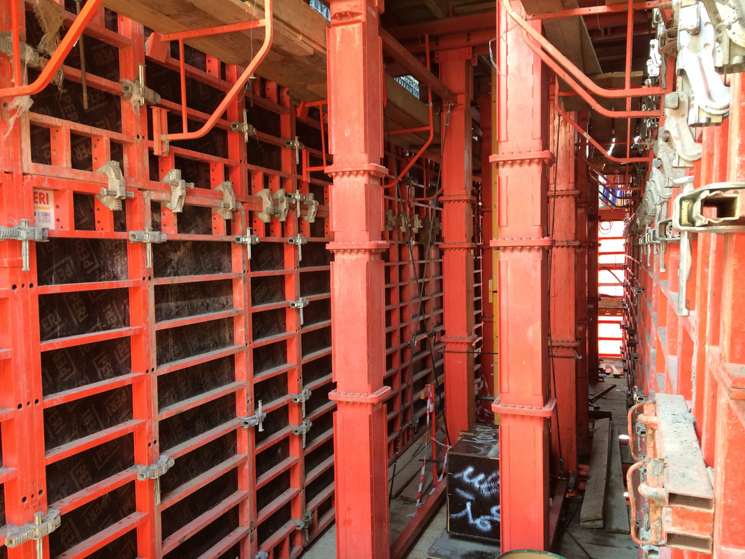
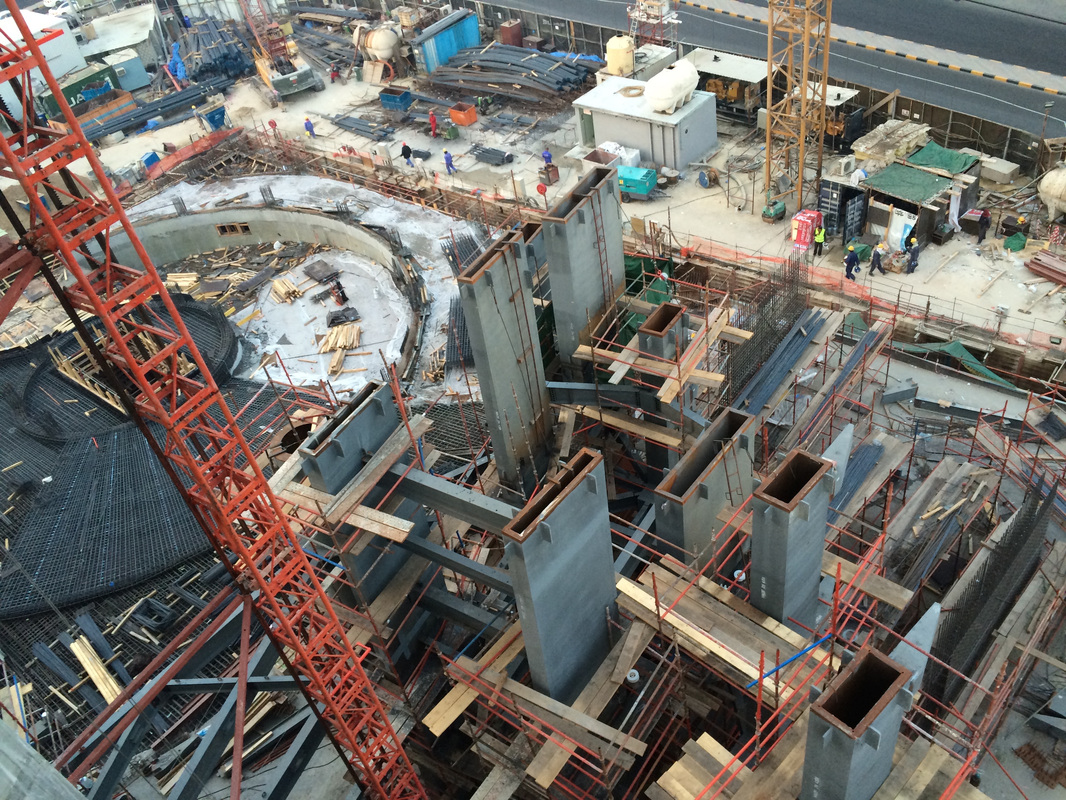
CGEOS has put in place the same methodology as that developed for the verification and control of self-climbing form-works "Core Wall Survey Control" system, but tailored for that the project. CGEOS qualified instruments and recommended a candidate as Chief Surveyor that successfully completed the job. Conditions of work were pretty much extreme in summer time due to high temperature and humidity but results kept constant in their accuracy thanks our calibration procedures. |
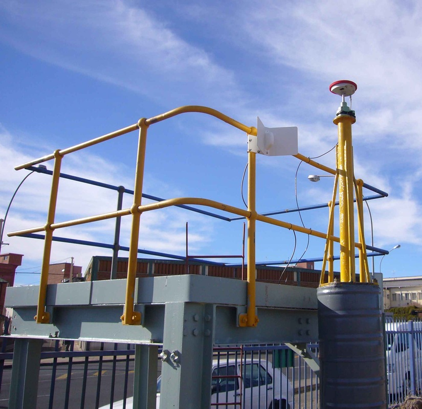
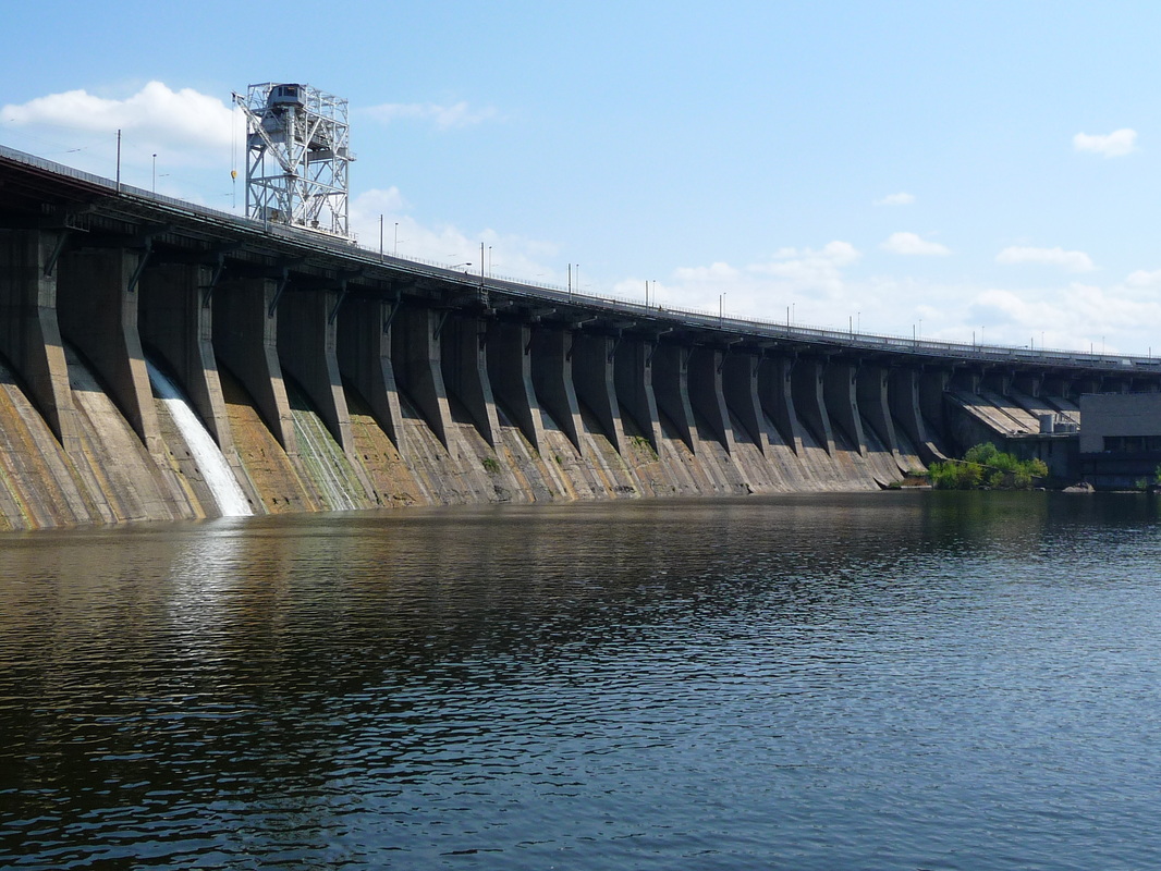
kruonis hydro pumping power plant - lithuania
|
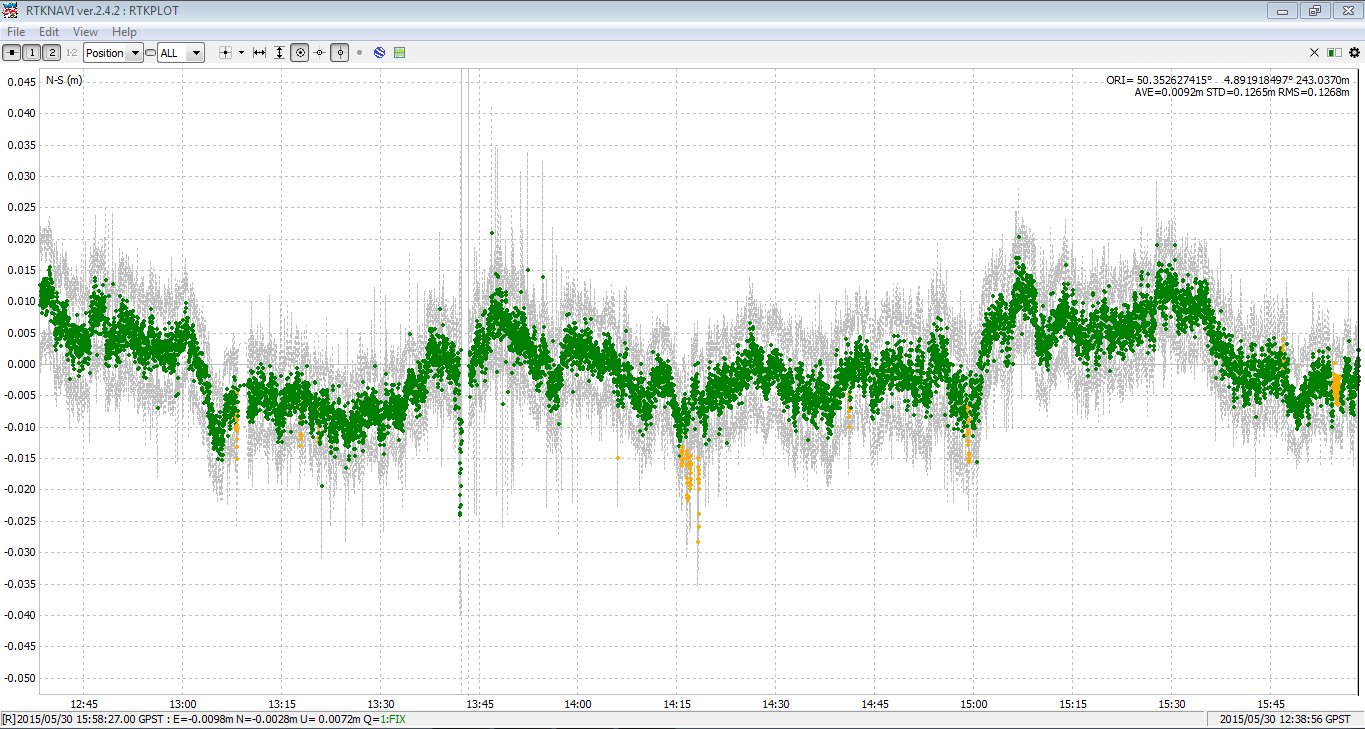
The aim was to validate the technical proposal to use L1 GPS receivers and antennas as well as high-precision inclinometers for the stability measurements of the Kruonis hydro-electric pump station in Lithuania.
All the data acquired automatically were adjusted in an automatic sequence using the least-squares method. We showed that the GPS L1 was accurate to the nearest mm. This has been confirmed by external measures. |
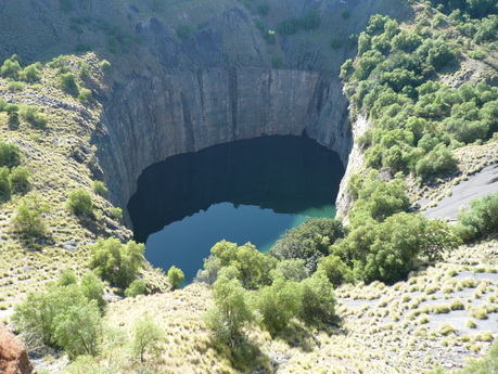
BIG HOLE AT KIMBERLEY
|
It was at the request of De Beers (A Diamond Forever) that we validated our proposal to use GPS L1 to create a monitoring and warning network around the BIG HOLE in Kimberley (South Africa) where geological impact could affect the city .A reference station forming part of the South African active geodetic network was used as a control point outside the deformation zone. |
|
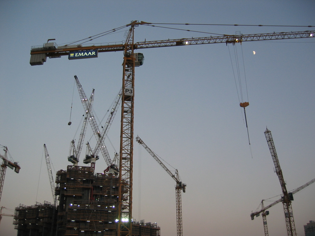
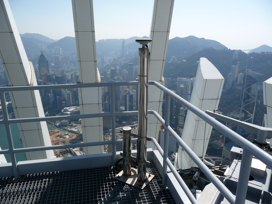
burj khalifa - dubai
|
In order to match the position of the upper platforms subjected to multiple forces (cranes, concrete pumps, insolation, winds of up to 100 km / hour, compression of concrete, etc.) with theoretical plans, we invented the CORE WALL CONTROL SURVEY method, tested and then delivered to Samsung International & BESIX.
It's about using GNSS receivers and antennas with 360° prisms collocated to provide "Active GNSS Control Points" for Total Stations operating on the building top. A network of high precision dual-axis inclinometers along the vertical axis allows to get immediate information about the deflection of the tower and to apply these corrections for matching the coordinates with the design plan. For sure the best "business card" of CGEOS - CREATIVE GEOSENSING |
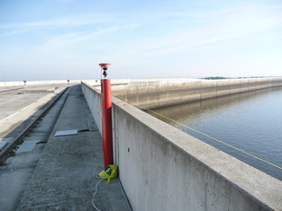
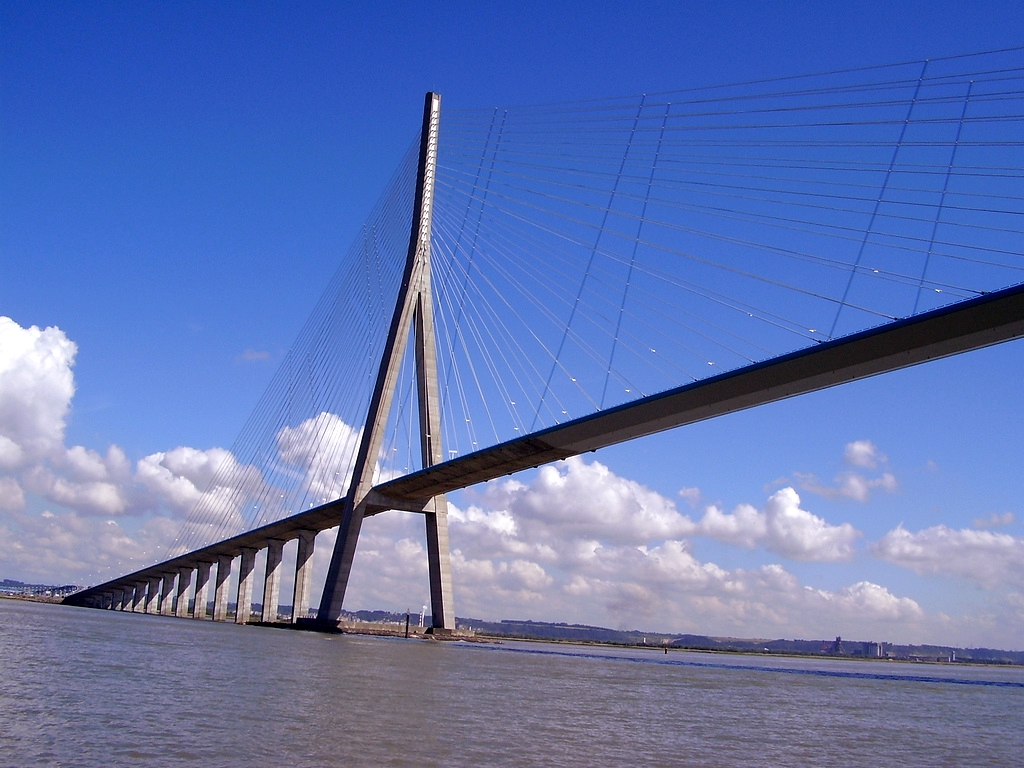
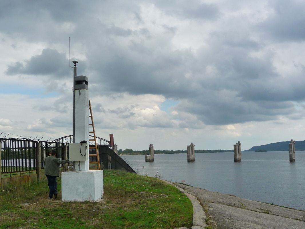
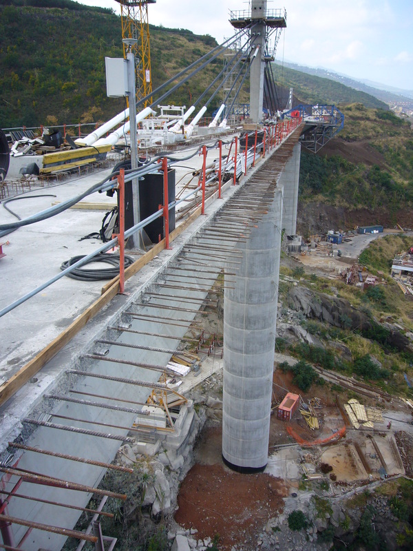
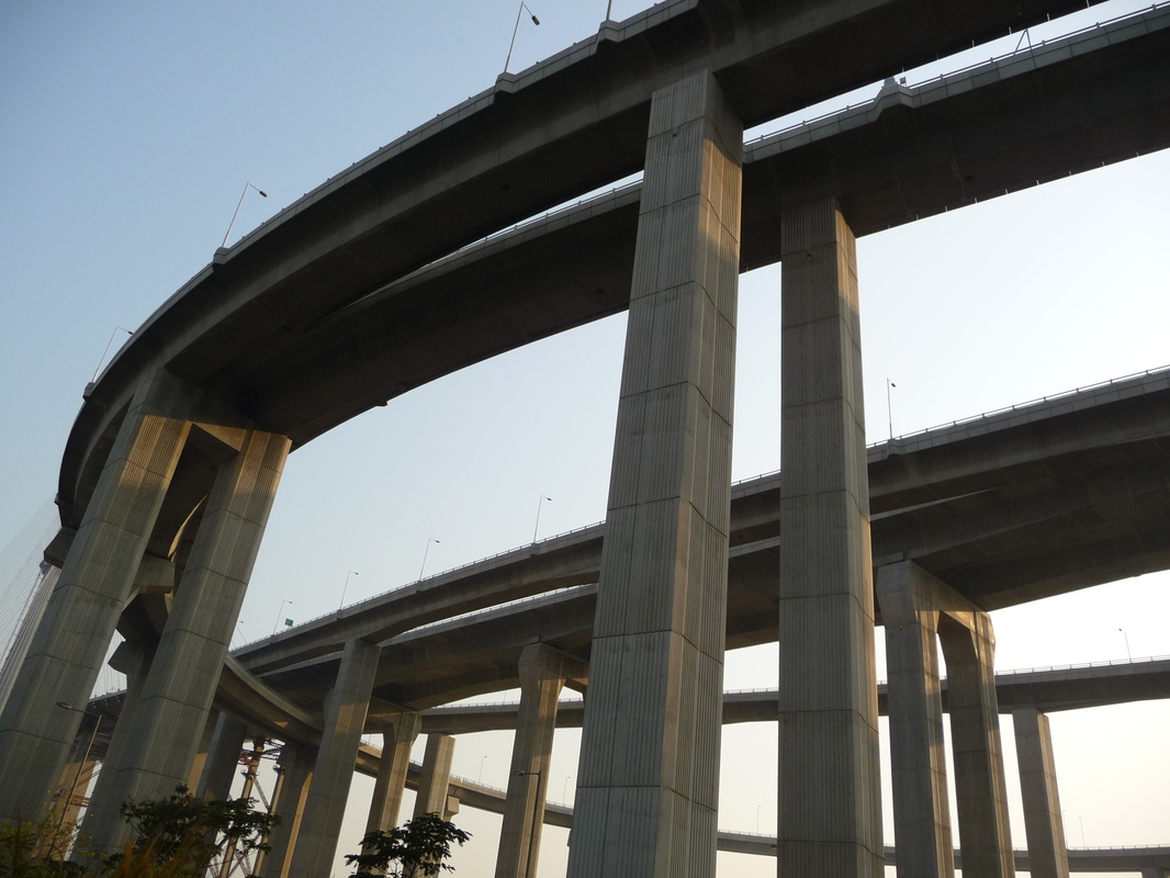
BRIDGES OF normandY et tancarville
|
Initially provided by the specifications of those responsible for these structures to use a total station to perform periodic measurements, we convinced them to adopt GNSS technology.
A technical proposal was developed by combining GPS receivers L1 and GNSS dual frequency receivers. It is a firm of surveyors of Normandy who manages the device delivered by Leica Geosystems France. CGEOS is convinced that GNSS technology is ideal for monitoring these large, economically important structures (in addition to passing vehicles and trucks, or even trains, bridges also allow the transport of energy and Broadband communication) in real time. |
|
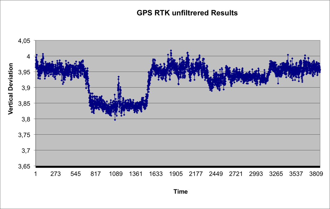
LOAD TESTS AT pont du val benoit
|
During the load tests of the Val-Benoît bridge in Liège, we installed for the first time in November 1999, 3 x GPS system RTK doubled post-processing for this purpose and an automatic station on the right bank to follow the position of a dozen reflectors arranged along the structure.
The software developed allowed a single person to follow in real time all the movements during loading operations. The results by GPS RTK show the different phases and locations of the loading. |


|
CREATIVE GEOSENSING SRL
Rue du Tienne de Mont, 11 5530 MONT, YVOIR (NAMUR) Belgique, Europe Tel. +32 (0)81 41 36 57 Mobile. +32 (0)474 98 61 93 [email protected] |
|
Latitude 50°3525804 North
Longitude 4°8918235 East Altitude 195 m. |
|
This site doesn't save any personal data in conformity with the RGPD in Europe
|
CGEOS Creative Geosensing (c) Copyright tous droits réservés 2024. CGEOS is a trademark.
|